Few people come to Hawaii to hike. It is not encouraged as no one makes much money off hikers. Getting away from the beaches and cities, the best of Hawaii is seen by hiking. It is one of the most spectacular landscapes in the world. I made three trips here in the late 1970s.
Read the excellent book “Shark Going Inland is My Chief”. It describes Polynesian colonization of the Pacific with an emphasis on Hawaiian history.
KAUAI
KALALAU VALLEY, Kauai.
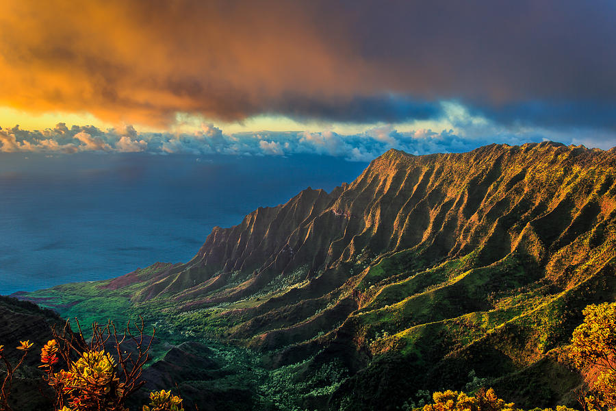
The Na Pali coast with its 4000’ cliffs rising vertically out of the ocean is one of the world’s most dramatic coastlines. It is an easy 10.8-mile backpack to the beach but with a precipitous drop into the ocean.
At 4.6 miles is a 1 ½ mile trail to the 300-foot Hanakapiai Falls in the back of a natural amphitheatre. At 6 ½ miles is a ¼ mile trail to Hanakoa Falls. For the last 4.8 miles, the trail switchbacks up and down the cliff with extraordinary views.
Kalalau is a large, broad valley 2 miles wide and 3 miles long. Campsites are varied but the best may be next to the stream or caves at the far end of the beach. The falls at the end of the beach have safe water and a great shower. There were no reliable trails into the valley – the best route follows the stream on the left side. The valley was once the site of a leper colony.
Clothing is optional and most go nude; you would have to be pretty straight or different if you were clothed. Drive on Highway #36, 37 miles from Lihue. Break-ins are common at the trailhead. Many have food delivered by helicopter – 50 pounds for $50.
MAUI
HALEAKALA & KAUPAO GAP to KAUPO RANCH
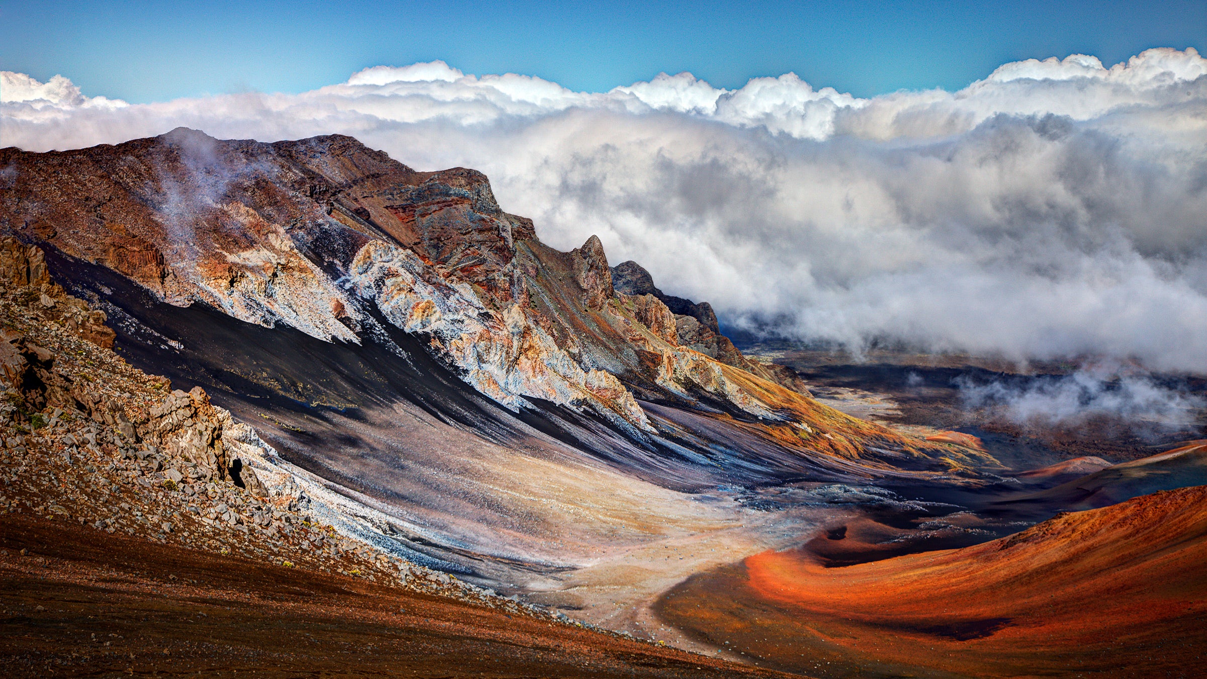
Haleakala is the world’s largest dormant volcano, covering an area of 33 square miles, is 7 miles long, 2 miles wide and 21 miles in circumference. Heavily eroded by centuries of rain, the mountain has shrunk 2,000’ to its present 10,023’. Viewing sunrise from the top of Haleakala is a Maui ritual for every tourist. We got up early to join the throng at the top. As is typical, the view was obscured by clouds and underwhelming.
I walked down 10,000 feet through the crater. Take the natural exit through Kaupo Gap. It is then a knee-destroying descent down a jeep road. I arrived at the coast while my wife drove our rental car about 100 km around to Hana. I had no idea how I would get to Hana as the road on this side of the island has never been open to the public. A few sections of the cliff have metal bridges not suitable for heavy traffic.


There are some 30 miles of trails in the crater. I followed the Sliding Sands Trail that begins above the visitor center on the south side of Pakaoao Hill at 9,745’, It descends 1,400 feet over 3.9 miles to the crater floor. At the first trail junction, stay right toward the Kapalaoa Cabin at 7,270’. Go left to pass the Bubble Cave and Bottomless Pit. The 3.5-mile trail to the Paliku Cabin crosses rough aa lava often covered with a whitish lichen. The lava changes to a smooth type of lava. This area receives 300 inches of rain a year. If not raining, there is heavy mist. It is surrounded by a lush garden of native and introduced plants making an enchanting, if wet, spot. The best attractions are silversword, feral goats and the nene, the Hawaii state bird.
The trail exits the crater through the Kaupo Gap. Descend another 6,000 feet in eight miles, a real quad-buster. Halfway down, the trail becomes a jeep road, ending at the Kaupo Ranch and a gravel road.
I was very lucky. The postman routinely goes this way to avoid the tortuous drive over 116 bridges on the Hana Highway. He had keys to all the gates and gave me a ride! I doubt you will ever meet anyone with the rare opportunity to drive this road.
WAIMOKU FALLS & SEVEN SACRED POOLS
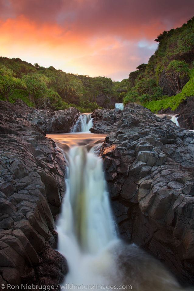
The Hana Highway and Seven Sacred Pools are two of the most popular tourist attractions on the island. After crossing the outlet stream of the pools, hike up the jeep road 100 yards past the bridge. The road ascends alongside four of the seven pools with spectacular views down into the pools. The seventh pool is in a deep gorge below a 50-foot waterfall. Cross the stream above the falls to see petroglyphs on the canyon wall. Return to the jeep road and turn onto the trail leading into the woods. There are many stream crossings and pools to swim in. Have another swim in the pool of Waimoku Falls.

Charles Lindberg’s Grave
The setting is one of the most serene spots in Hawaii. Lindbergh lived his last days on the lush Hana coast. He died on August 26, 1974, the day my first child was born.
This is not a hike but a drive.
![]()
On Maui, take the lovely road to Hana with its 116 bridges. Drive 8 miles south of the “village” and continue past Seven Sacred Pools. Just before the end of the pavement (where it ended when I was there in 1982 – the pavement could have been extended since then), take a small, unmarked gravel road to the left just past mile marker 41. It ends at the lovely Palopalo Ho’omau Church on the ocean. The limestone coral church was built in 1857. His grave is in the churchyard under a Java plum tree. Before he died, he sketched a simple design for his gravestone and coffin.
His epitaph on a simple stone quotes Psalms 139:9:
“Charles A. Lindbergh”
Born Michigan 1902
Died Maui 1974
…if I take the wings of the morning, and dwell in the uttermost parts of the sea…C.A.L.

HAWAII
Hawaii Volcanoes National Park
MAUNA LOA (13,680’)
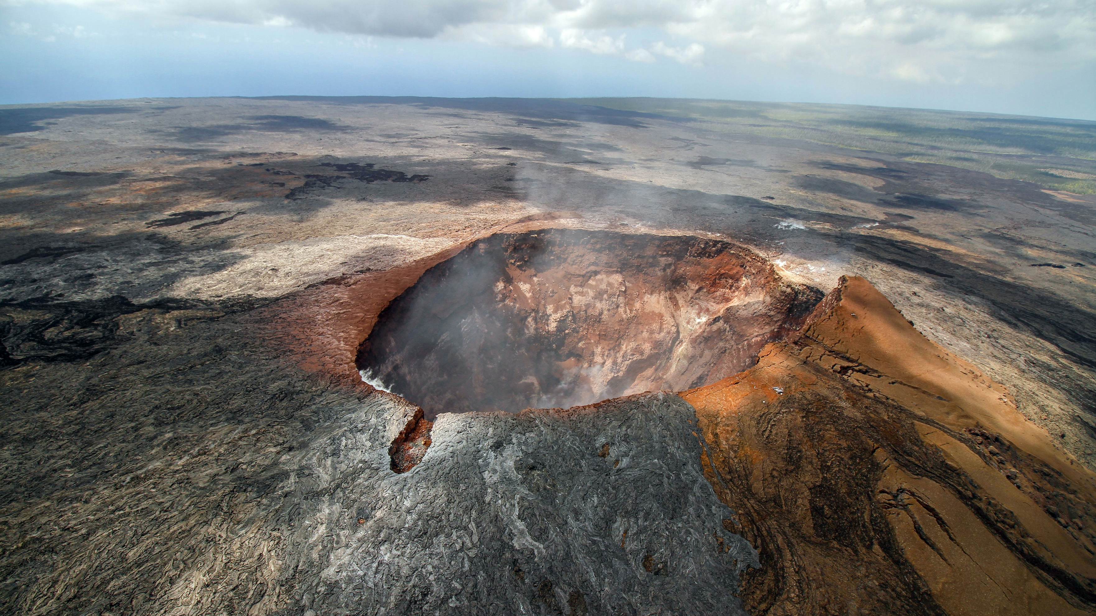
This, the most active volcano in the world, is also the highest mountain in the world when measured from its base, the sea floor. Mona Kea is slightly higher and you can drive to the top covered in telescopes. Altitude sickness and hypothermia are significant risks so carry lots of warm clothing. The cabins at Red Hill and the summit have blankets, white gas stoves and lanterns but not white gas. The water is collected from the roof and should be treated. The total trail length is 18.2 miles.
One should allow 2 days for the ascent: one day to hike to Red Hill (7 miles, 3,374’ elevation gain) and another day to the summit (11 miles, 3,645’ elevation gain).
The trailhead at 6,662 feet is at the end of the Mona Loa Strip Road, some 13.5 miles from the Kilauea Visitor Center. Vegetation is soon lost and one follows lava rock cairns. Nene can sometimes be seen on the trail. The Red Hill cabin is a welcome sight and offers panoramic views. Start early on the second day to avoid the heat. About 2 miles from the summit, you arrive at the North Pit of the great Mokuaweoweo caldera. It is an oval depression 3 miles long, 1 ½ miles wide and up to 600’ deep. The trail drops into the caldera and the cabin is a short hike up to the rim.

To reach the summit, return to the junction on the north side of the caldera and follow the rock cairns to the summit.
The return trip is easy but tiring in one day.
Kilauea Caldera Area
Like Mauna Loa, Kilauea is a shield volcano with a characteristic broad, gently sloping dome. While the summit is 4,000’ above sea level, the base extends another 16,000’ to the ocean floor. The summit caldera, 2½ miles long and 2 miles wide, contains Halemaumau, had an almost continuously active lake of liquid lava through the 19th century and the first quarter of the 20th. A recommended hike is to take the Halemaumau Trail across the caldera to the ‘fire pit’→Byron Ledge Trail→Kilauea Iki trail which ends at the Thurston Lava Tube→Crater Rim Trail→Visitor Center for a 10-mile day. Obtain the park brochure with a map of the area and decide where to go.
Kau Desert Area. This hot, dry relatively barren area is in the southern part of the park.
Kalapana Area. Beginning in 1969 and continuing today, a series of eruptions has covered the road. Trails here are short and relatively easy. The Puu Loa Petroglyphs have hundreds of petroglyphs on mounds.
AKAKA FALLS
This .7-mile loop trail goes to the 420-foot-high falls through a tropical paradise.

CAPTAIN COOK MONUMENT
A 2.5-mile trail leads from a difficult-to-find trailhead. Opposite a dry cleaners just out of the town of Captain Cook is the road to Kealakekua Bay that drops abruptly towards the beach. The overgrown trail begins about 500’ down the road and leads to the beach and the monument. Beyond the monument are several caves some containing human bones. The original plaque commemorating Cooks’s death is under a foot of water where the jeep road ends. Cook was killed in 1779 while attempting to end a fight between his men and the Hawaiians.
:max_bytes(150000):strip_icc()/gettyimages-150366548-57a49bc25f9b58974a2dffc4.jpg)


