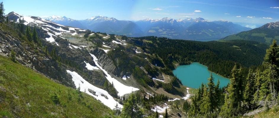
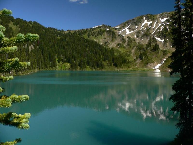
This out-and-back trail is the crown jewel of Revelstoke alpine hiking. It leads to a sub-alpine, teal-coloured lake set in attractive alpine meadows. Good views. Summer motorized access and access by bikes are strictly prohibited.


View of north ridge from lake
Rating: ♦♦♦◊◊
Location: Southeast of Revelstoke above the east shore of Upper Arrow Lake.
Difficulty: B1 easy.
Elevation Gain: +438m / 1437′
Key Elevations:
Distance: 2.7kms one way, 9kms to the summit
Time: 1-3 hours
Season: July to September. August prime.
Access: 4WD
Map:
Drive: Drive southeast of Revelstoke on Airport Way to the end of the pavement. Stay left at the Y on Akolkolex-Dumont FSR. Upon crossing over the Akolkolex River by the hydro station, stay left. At 22.1 km stay right. At 22.5 km the signed McCrae Rd is on the left, turn here. Follow McCrae Rd until the trailhead sign appears on the left-hand side of the road.
Route/Trail: A short, sweet approach trail leads to a spectacular setting. At 2km, reach a Y, the left-hand trail continues down to McCrae Lakes. The right-hand trail continues towards the summit of McCrae Peak. As you approach the summit, the trail becomes harder and harder to find until eventually it is up to you to find your way. The recommended approach is to continue along the northwest ridge to the summit. The alternate approach would be to ascend the small glacier below the peak and intersect the ridge at the obvious col. The summit ridge is not technical at all. Class 3 with a bit of exposure in a couple of spots. Worth the effort.
There are a couple of tent platforms and an outhouse at the lake.
What to Do: Give all day to explore the nearby ridges and scramble to the top of McCrae Peak for more panoramic views of Upper Lake, the Monashees and Selkirks.
