
Mexico is my favourite country outside of North America. Possibly, one’s favourite country is the one you know the best. In my first year of travel in 2006/07, I drove all of the Baja and in my second year in 2007/08, I drove to the Yucatan and back. A few of my favourite places include.
SIERRA de SAN FRANCISCO Baja Mexico December 1996.
This is a wonderful rural village and canyon high in the mountains above the palm oasis town of San Ignacio. My girlfriend and I were on a 10-day sea kayaking trip based in Loreto. We heard about the wonderful cave paintings here and with no arrangements, we arrived and inquired about the possibility of going down into the canyon. The “head man”, a distinguished old guy, told us the prices and our responsibilities of feeding the guide.
We left the next morning with Angel Arci and his 2 burros and 2 mules. Everyone in the town has the last name Arci.
Sierra de San Francisco is a deep canyon with 5,000-year-old cave paintings. Access the bottom on a steep rocky trail. The other three rode mules and I walked. At the bottom of the verdant canyon was a lovely orange orchard, flowing water, pools and nice camping. Here for two nights, the canyon was a worthwhile destination in itself.
The best of the three “caves” was Pintura, a 100 m-long overhang with confluent paintings of animals and anthropomorphic figures.


COPPER CANYON Chihuahua Mexico. December 2007.
Creel at 2300 m is the main jumping-off point for most trips into the canyon. Copper Canyon refers specifically to the canyon of the Rio Urique and generally to the many nearby canyons carved out of the Sierra Tarahumara by at least 20 different rivers. Together these canyons are four times larger than the Grand Canyon and nine of them are deeper. The Tarahumara in town were walking through the slush in sandals.
Leaving the cold and snow of Creel, I took the five-hour bus ride 143 km to tropical Batopilas dropping 6000’ to the bottom of the Copper Canyon. The ‘bus’ was a Chev Suburban with 2 bucket seats and 2 bench seats. Starting with a full load of 8 adults and a 10-year-old, 3 more adults and a baby were soon packed in. I admired the woman who sat on the plastic console for 3 1/2 hours. After 75 km of pavement, the road deteriorated to high-clearance dirt and made a breathtaking descent down the canyon wall.
I was the only guest at Casa Monse (120 pesos/night), where the elderly owners spoke English and made me feel very welcome. I ate most of my meals with them and we spent many hours chatting.
I walked the 8 km to Satevo, the location of the Lost Cathedral, where I watched the excellent craftsmen plaster the cathedral that had been exposed brick. The splendid Shepherd Hacienda is now ruins but was the home of an American who developed the productive silver mines in Batopilas from 1880 to 1920. My poor Spanish resulted in getting hot milk instead of spicy enchiladas for the one meal I ate out. There are many men simply standing around, unemployment is high, and Carlos believes most are involved in the marijuana business (sounds like the Slocan Valley).
The indigenous Tarahumara were common around Batopilas. They stood out because of their traditional apparel – women in full, pleated skirts and blouses made of brightly coloured, patterned fabric and men in white loincloths and ample coloured long-sleeved shirts. Their sandals are cut out of tire tread. They subsist on basic agriculture and their beliefs are closely tied to nature. They are famous for running long distances, up to 160 km, through rough canyons, and kicking a small wooden ball ahead of them (they are profiled in the excellent book ‘Born to Run’). Their religious leaders use peyote in their ceremonies.
The Ferrocarril Chihuahua Pacifico (Copper Canyon Railway) is considered one of the world’s most scenic rail journeys. 655 km long, it has 36 bridges and 87 tunnels connecting Chihuahua and Los Mochis on the Pacific coast. It is a considerable feat of engineering that took decades to build and was finished in 1961.
I took the first class train to Los Mochis and the slower class economica on the way back the next day. The second class train costs half as much (618 pesos), stops more, takes 2 hours longer, is more crowded and has no dining car.
Both trains have only one stop, Divisadero where you can get off for 15 minutes. This is the only place to see the actual Copper Canyon on the trip. There were many food vendors and I loaded up with delicious burritos and gorditos.
In retrospect, I should have driven to Creel, further on the line to get on the train and get off in El Fuerte, 90 minutes before Los Mochis and the best part of the canyon. El Fuerte is a nice colonial town and Los Mochis has little to offer, plus the end of the trip is in the dark and passes through flat uninteresting countryside. The two trips took 12 and 14 hours respectively. The landscape is beautiful with pine forests, sheer canyon walls, and a river with pools and boulders.
One of Mexico’s most numerous indigenous people, the Tarahumara, still maintains a traditional lifestyle in the canyon depths.
BASASEACHI WATERFALL Mexico. December 2007
The highest waterfall in Mexico, it is 1,067 feet high. Past the falls, the stream is called Rio Candameria, a tributary of the Rio Mayo. Both streams are seasonal and dry up in the spring and autumn seasons.
From Creel, the winding, narrow road went through the pine-covered mountains and canyons. The thin ribbon of water was barely visible through the heavy fog and rain. Arriving back at the truck in the dark, I camped in the parking lot. It stormed all night with huge rain and winds and the river had swollen from a tiny stream to a raging torrent, conservatively a thousand times larger. At the lower viewpoint about 400 feet above the bottom of the falls, I was completely soaked in ten seconds from the spray. I climbed over 1000 feet to the upper viewpoint for marvellous views of the now massive waterfall. It rained heavily and back at the truck, I was one wet puppy.
On the hike, I met an American who advised me to buy gold. I sold all my American stocks and bought gold.

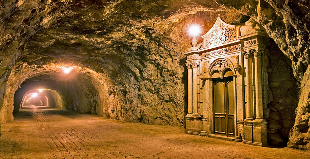
REAL de CATORCE Mexico December 2007. 300 km northeast of Zacatecas, Real de Catorce (pop 1500, elevation 2756m) was once a wealthy mining town of 40,000, then abandoned and now slowly being revived by wealthy Mexicans and Europeans.
The indigenous Huichol people make annual 400 km pilgrimages from their homeland SW of Zacatecas to a mountaintop just outside Real de Catorce where they consume peyote and have religious visions.
After dropping my camper on the side of the highway, I drove on the world’s longest cobblestone road for 24 km. The cobbles were in six wide rows separated by five narrow bands of larger rocks. After the spectacular road, I drove through a rugged 2.3 km tunnel that was just wide enough for the truck in places and certainly too low for the camper.
The town’s stone buildings are built on a steep hillside – many are in ruins but others have been renovated into hotels, restaurants and homes. The rough cobblestone streets are steep and narrow. There are horses and burros in many yards and their excrement is everywhere. The church was impressive and attracted thousands of pilgrims to view the miraculous image of St Francis of Assisi on one of the altars. A room is full of retablos – small pictures depicting some life-threatening situation from which St. Francis had rescued the victim. Car accidents and medical operations are common themes. I slept under the stars in the back of my truck. I was woken up often by a braying jack burro intent on fornicating with all the jennies roaming the lot. The many roosters in most yards competed with others with a cacophony of crowing.
I started walking before sunrise to climb Montana Sagrada (Sacred Mountain) of the Huichol. With vague instructions from a Swiss shopkeeper, it took 1 1/2 hours to get to the top. It was easy to see why these Indians chose this place. On the NW edge of the local mountains, it is high enough to catch early sunrise light and its small, narrow, 150-yard-long top drops precipitously many thousands of feet to the vast plain below. I could see 100 km to the south, west and north. There were stone rings, a tiny stone chapel and religious paraphernalia but no peyote. This was a special, spiritual place.
Returning to town, I saw the abandoned bullring, original church and cemetery. It was an obstacle course around graves to the church’s front door. The cemetery was typical of most Mexican cemeteries with elaborate above-ground graves adorned with gaudy plastic flowers. The church walls were painted with religious scenes, now faded and chipped. Paper streamers draped across the narrow building.
The old mint had been converted into an art gallery. I was impressed with the collection of photographs of the Mexican side of the Tijuana/San Diego border fence, and of Diego Rivera (the famous Mexican artist and muralist) with his wife Frida Kahlo, instantly recognizable by the presence of her unibrow.
I walked east up to an old ghost town and mine. There were tourists everywhere, most on horses as part of tours. The many ruins had cactus and bougainvillea growing from the crumbling rock walls.
Real de Catorce is another must-see in mainland Mexico

 Huichol with their beadwork
MONARCH BUTTERFLY RESERVE Mexico
We hired a guide in Anangueo (2980m) to make the rough drive up the mountain for another few thousand feet to the town of El Rosario for 400 pesos.
Every autumn millions of Monarch butterflies arrive for their winter hibernation having flown from the Great Lakes region of Canada and the US, over 4000 km. At night and in the morning the butterflies cluster together covering whole fir trees and weighing down the branches. As the day warms up, they all start to fly and can completely cover the ground like a brilliant living carpet. They mate in March and over 3-5 generations make the return trip to Canada.
At the sanctuary entrance (cost 35 pesos), we were assigned a guide who took us on the one-hour climb to the butterflies. It was the most incredible experience of the trip so far, especially when the air was filled with fluttering butterflies. We were alone in the forest with the symphony of thousands of beating butterfly wings and the sound of cascading water.
SAN CRISTOBAL de las CASAS (pop. 50,000, 2163m), is a beautiful colonial town with cobbled streets and nearby indigenous villages. Northwest of town, I drove to the Huitepec Ecological Reserve, a 2.5 km guided walk through an oak forest and up a ridge into a cloud forest with many orchids.
The nearby town of San Juan Chamula is home to the fiercely independent Chamulans, a Mayan subgroup. Beside the plaza filled with vendors is the Templo de San Juan, their main church, the only church I’ve been to that charged admission (20 pesos). The only Catholic function carried on in the church is baptisms. Otherwise, the practices are still Mayan in origin. With no pews, people kneel on the floor covered in pine needles. Glassed cases with Catholic saints line the walls and thousands of candles burn, giving it a smoky, wax smell. Candles in glasses cover multiple tables in front of the effigies and thousands, from birthday-sized to large, are stuck onto the floor. Headless chickens and yucca flowers adorn the walls. Everyone is chanting. Pictures are forbidden inside the church and the locals resent their photos being taken.
Local dress is distinctive with men wearing thick black wool tunics and women in heavy wool pleated skirts, lavishly embroidered satin blouses and light cardigans. Conflicts between adherents to traditional Chamulan religion and converts to Protestantism have resulted in the expulsion of thousands of Chamulans from their villages, and they now inhabit the shantytowns around San Cristobal de las Casas.

There were horse races with the crowds lining the dirt road and covering the hillside. As I was the only gringo and almost the only one not wearing the purple tunic, I tended to stand out. Photography is banned everywhere.
Over the next two days, I explored San Cristobal, climbing two hills on either side of the central district, and visiting a few mediocre museums, an orchid garden, and the usual gaggle of churches. Only one, the Templo de Santo Domingo was worth the visit. Built between 1547 and 1560, it has a unique baroque façade and lavishly gilded interior with many religious oil paintings.

