Grand Staircase-Escalante National Monument has three components.
1. ESCALANTE CANYONS. The most popular area of the monument. The Escalante River was the last discovered river in the continental US.

Calf Creek Falls

Goblin Valley
Little Wild Horse Canyon. Go up Bell Canyon, cross over the top on the road and descend Little Wild Horse. A great and very popular day hike.

Natural Bridges National Monument. Hike under all three bridges or go up the canyon to see great Anasazi ruins.
HOUSE ROCK VALLEY ROAD

Metate Arch, Devils Garden

Zebra Canyon

Neon Canyon. One of my favourite day hikes. Every time I have been here someone was repelling from the pothole arch in the roof.


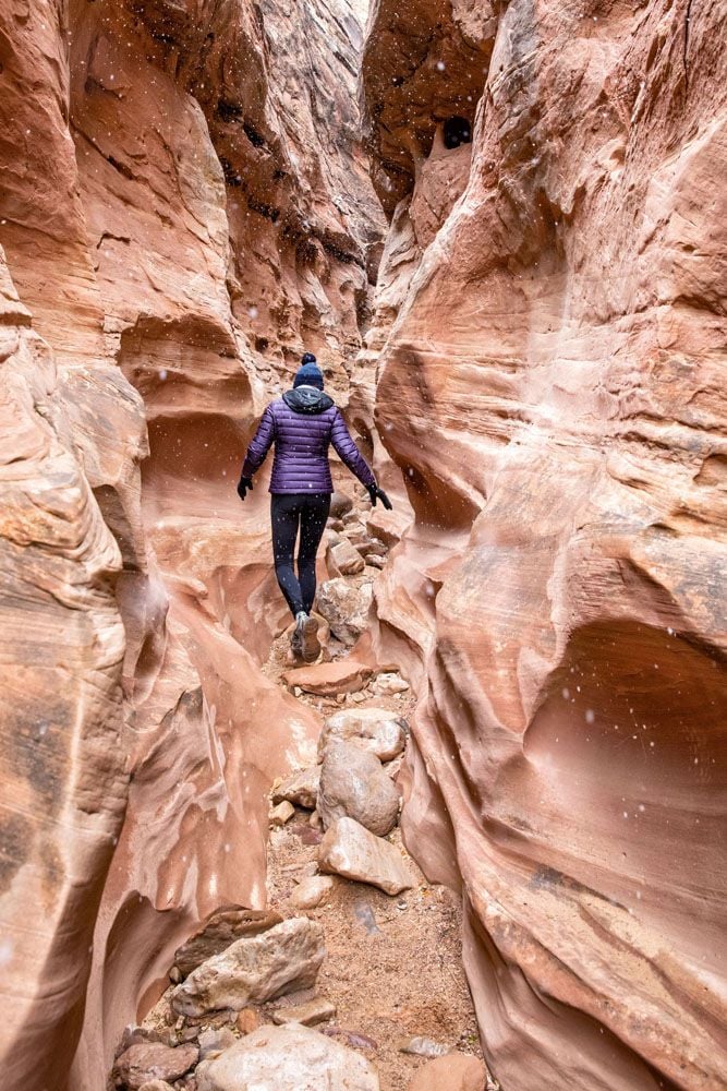
Peekaboo & Spooky Slots. The two most popular slot canyons on the CP. Go up Peekaboo and come down Spooky – very tight and dark.
Coyote Gulch. My favourite day hike in the Colorado Plateau. I have done it five times. We always camp at the water tank, climb into Stevens Arch and exit at Jacob Hamelin Arch. Water tank→Crack in the Wall→Escalente River→Stevens Arch→Coyote Bridge→Jacob Hamelin Arch→Water tank. The climb out of the canyon at Jacob Hamelin Arch is steep and too much for some.

Stevens Arch. It is an easy detour to cross the Escalante River and climb up into Stevens Arch. You could fly a small plane through the arch.

Coyote Bridge

Coyote Gulch Waterfall
2. KAIPAROWITS PLATEAU Separates the Escalante Canyon area from The Grand Staircase area. The 1,600-square-mile Kaiparowits Plateau features unique sedimentary rock formations containing an unbroken record of fossils spanning 30 million years.
3. GRAND STAIRCASE AREA
It is remote and infrequently visited, but contains the most extensive network of slot canyons in Utah.
The “Grand Staircase” marches northward from the North Rim of the Grand Canyon to the 9,000-foot edge of Utah’s High Plateaus. The succession includes, from south to north, the Shinarump Cliffs, the Vermilion Cliffs, the White Cliffs, the Gray Cliffs, and the Pink Cliffs. Each cliff band is separated by progressively higher terraces.


Kodachrome Basin State Park

Grosvenor Arch
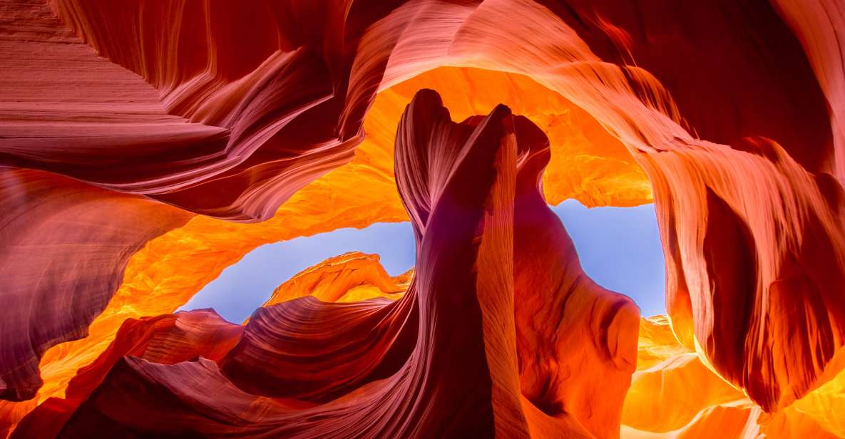
Antelope Canyon