Iceland July/August 2018
Fjallabak Nature Reserve. The Fjallabak route (F208) is a spectacular alternative to the coast road between Hella and Kirkjubæjarklaustur to access Landmannalaugar, possibly the prime hiking area in all of Iceland, and the start of the Lanugavegurinn Trek (usually shortened to Lanugavur).
LAUGAVEGUR TREK (LANUGAVEGURINN TREK)
This 53km trek from Landmannalaugar to Thórsmönk is one of the premier walks in the world and has been on my bucket list for many years. The name means ‘Hot Springs Road” and is studded with geothermal activity, primarily fumaroles.
The recommended route is from north to south to take advantage of the net altitude loss. 3 or 4 days is required along a well-travelled trail, waymarked with frequent wooden posts (and sometimes cairns). Follow the tracks on snowfields. GPS would be valuable in dense fog or a whiteout blizzard.
No permit or registration is required. The track is passable from early July through to mid-September. Having 5 days’ worth of food is recommended, a good tent, warm clothes (toque, gloves, buff and down jacket), and wet weather protection. I normally hike with an umbrella but the strong winds would have made it useless. All is part a proper layering system. Four substantial rivers with wading are crossed. The water is cold and fast – slip-on neoprene booties worked.
Three huts are 12 to 15 km apart, but they require booking. Camp at designated areas around the huts. I didn’t bring a stove for weight and space reasons.
Transportation to Landmannalaugar and Thórsmönk. There is no direct transportation or shuttle service between the two.
Day 1. Park at Hella serviced by four bus lines and a free long-term parking area. The buses are all able to manage the deep river crossings.
Trex. Hella to Landmanalaugar: 2 hours. Thórsmönk (Langidalur) to Hella:
Day 1 – Landmannalaugar to Hrafntinnusker (12kms)
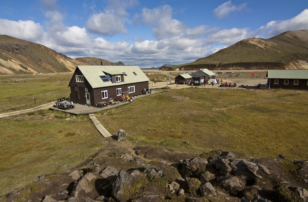
Landmannalaugar is nothing more than a large parking lot and tent city. It is a gorgeous area with low rhyolite mountains in various shades of oranges and yellows, lava fields and many geothermal features including hot springs.
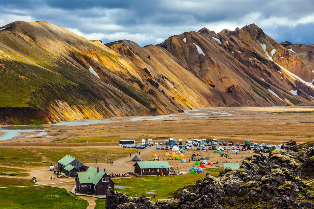
The route is a continuous climb to the high point of the entire trek and then a short descent to the hut. A strong wind blew the rain horizontally. All plant life disappears; the gravel is littered with obsidian. Pass the Haala fumarole field and a plaque attached to a rock commemorating a 24-year-old who had died here in a blizzard in 2004. But in all but a white-out, the route is easy to follow.


The high point is marked by a cairn topped with a flashing white light. It is then a short descent to the office, pay the ISK 2000 camping fee and set up camp in the small rock wall shelters. I hung my wet clothes on a clothesline inside the tent. I remained horizontal for the next 14 hours.
Day 2 Hrafntinnusker to Áiftavatn (12kms) & Áiftavatn to Emstrur (16 km)

I was up early on a lovely cool morning with little wind and a few clouds. I decided to make it a big day and skip staying at the second hut at Áiftavatn.
After almost 7 km, the trail reaches a high viewpoint with Áiftavatn far below on the edge of a big lake.

The descent was a real knee-knocker down to the valley floor. Cross 3 rivers during the long day.
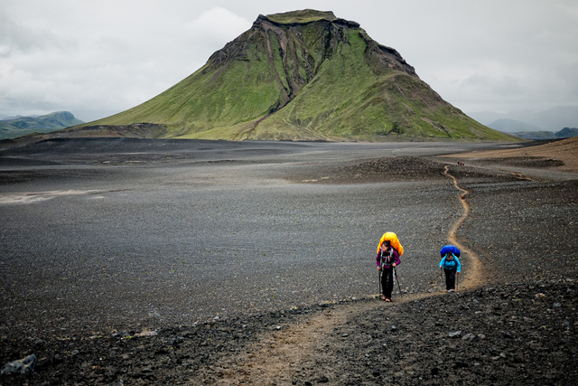
After a short climb out of the valley, walk on a flat road. The wide valley was flanked by sharp-edged peaks covered in lovely emerald green.
Day 3/3 – Emstrur to Thorsmörk (15kms)
Up at 5 am, it was cold with a strong SE wind. Cross some gorges and raging rivers, then a significant climb out of the valley. Descend a long way to the last big river of the trip.
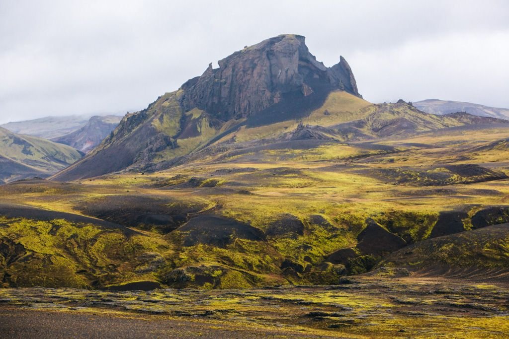

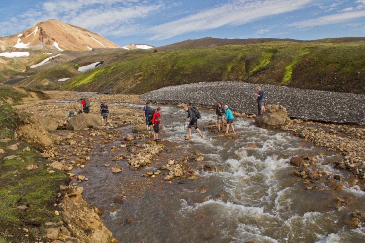
In Thórsmörk, cross the big ridge south of the river. Eventually, the trail meets a road and you come to a fork and a sign – 1.5 km on the road to the right to Húisadalur (also called Volcano Huts Thorsmork) or the trail to the left 1.5kms to Langidalur (or Thórsmörk where the main bus stop is), and then continuing past Thorsmörk for 2 more kilometres to Básur (technically in Gođaland).
All bus companies stopped at Langidalur, The descent was steep and I finally arrived at 12:30 for a 6-hour day.
Thórsmörok. This “town” consists of a hut, toilet facility, campground, and a bus stop on the road. Arriving here is impossible for the average car as 3 deep rivers must be crossed.
The Trex bus was waiting but was fully reserved, and luckily a Reykjavik Excursions bus appeared at 02:15 that had room. Costing ISK 5300 to Hella (Trex was ISK 5900), it left almost immediately.
At Hvelsvölar, we waited for 45 minutes for the bus to Hella. I finally arrived at my van at 18:30 for a 14-hour day.
Fimmvörđuhálskali Pass hike. This 23 km hike between Thorsmörk and Skogar is very popular in its own right and is often a one or two-day extension to the Lanugávegurinn Trek or more commonly a day hike.
The pass sits between two glaciers: Mÿrdalsjøkull to the east and Eyjafjallajökull to the west. A new lava field at the pass formed in the 2010 Eyjafjallajökull eruption stopped all air traffic across Europe for weeks. The pass is high and the weather can descend very quickly.
Transportation is easy. The best way would be to park at the Skøgar Waterfall parking lot, just off the south ring road. Climb the stairs to the viewpoint above the falls and continue on the trail alongside the creek. At Thorsmörk, several buses can be gotten to Hella and then transfer to Skøgar.

